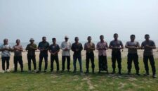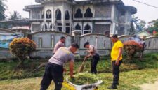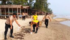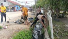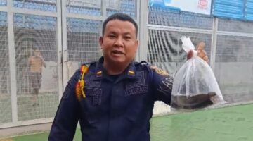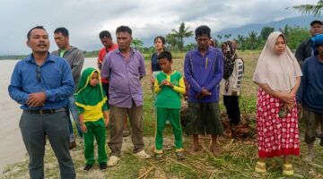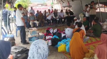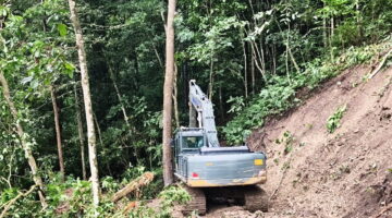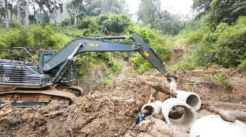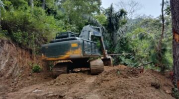






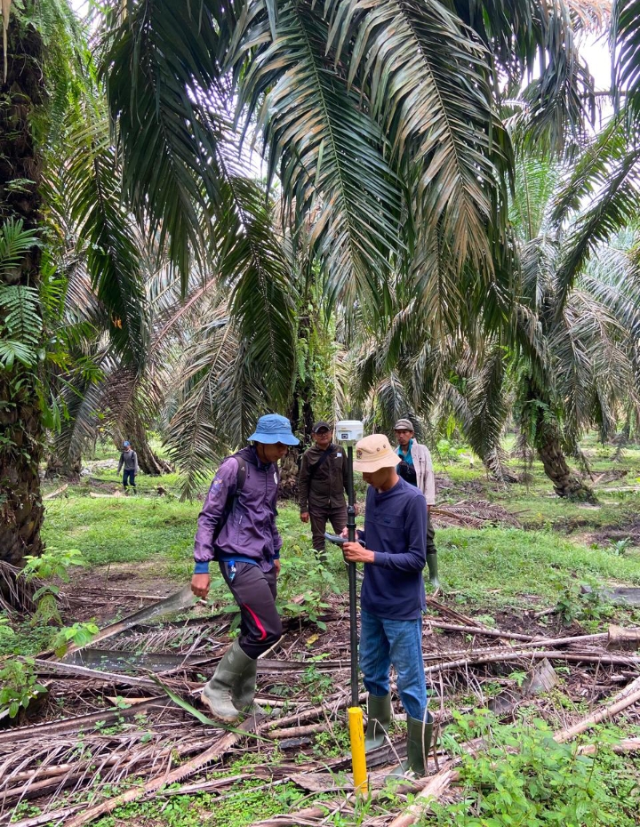
ACEH TAMIANG, INDONESIA — Efforts to provide safe, permanent, and properly administered housing for disaster-affected communities continue in Aceh Tamiang. The Aceh Tamiang Land Office carried out a land measurement activity for the development of Permanent Housing (Hunian Tetap/Huntap) for communities affected by the disaster on Friday, August 14, 2026.
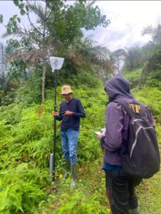
The land measurement represents an important step in ensuring that the site designated for Huntap development has clear, accurate, and properly documented land data. The measurement was conducted carefully and systematically in the field as part of efforts to support proper land planning and the provision of housing for affected residents.
ADVERTISEMENT

SCROLL TO RESUME CONTENT
Measuring Land, Building Certainty
Land measurement is more than a technical procedure. Behind every measured boundary and mapped point lies the hope of families who are working to rebuild their lives after disaster.
Through careful and coordinated field measurements, the boundaries and size of the land can be determined more accurately. The resulting data is expected to serve as an important foundation for subsequent land administration processes and the development of permanent housing.
Land certainty is essential to ensuring that Huntap development can proceed in an orderly, targeted, and accountable manner, in accordance with applicable regulations.
The Aceh Tamiang Land Office continues to contribute to the post-disaster recovery process by providing land administration services that prioritize accuracy, data certainty, and public service.
From Land to Homes, From Certainty to Recovery
The development of Huntap is not merely about constructing new buildings. It represents an important part of the recovery process—helping disaster-affected families regain a safe place to live and rebuild their future with greater confidence.
With accurate land measurement data in place, the Huntap development process is expected to move forward more effectively while providing greater certainty for the intended beneficiaries.
The initiative also highlights the importance of coordination and cooperation among relevant stakeholders in post-disaster recovery—from land planning and land administration to housing development.
Today’s land measurement is a step toward certainty. From accurately measured land, we hope to see safe homes, renewed hope, and a stronger future for disaster-affected communities in Aceh Tamiang.