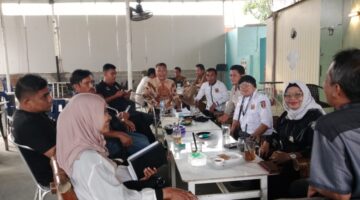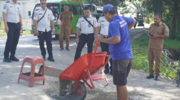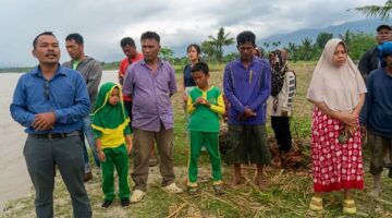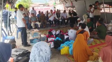






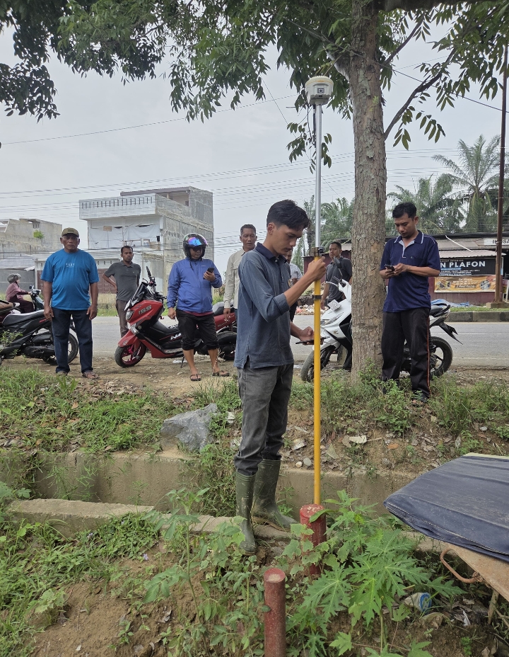
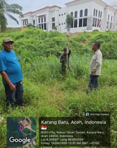
ACEH TAMIANG, INDONESIA — The Aceh Tamiang Land Office conducted a land survey and installed boundary markers at the site of the Aceh Tamiang Grand Mosque. The activity was carried out to ensure clear, accurate, and measurable information regarding the boundaries and area of the property.
The survey was conducted directly in the field by taking into account the existing land boundaries. Boundary markers were then installed as physical indicators to clarify the location and limits of the mosque’s land. The activity was carried out by land surveyors from the National Land Agency (BPN) on Friday (August 14, 2026).
ADVERTISEMENT

SCROLL TO RESUME CONTENT
The activity was not limited to technical surveying. It also represented a strategic step toward strengthening orderly land administration. The survey results are expected to provide a more accurate basis for the administrative process and management of the Aceh Tamiang Grand Mosque’s land.
Ensuring Boundaries, Strengthening Certainty
Clear land boundaries are an important element in providing certainty regarding the status and control of a parcel of land. Therefore, surveying and installing boundary markers are integral parts of efforts to organize land administration.
With clear physical boundaries in the field, the potential for misunderstandings regarding property lines can be minimized. Accurate survey data can also support a more orderly, transparent, and accountable land administration process.
The Aceh Tamiang Land Office continues to promote land administration activities that prioritize accuracy, data certainty, and service to the public and stakeholders.
The survey and installation of boundary markers at the Aceh Tamiang Grand Mosque site represent a concrete step toward strengthening orderly land administration while clarifying the boundaries of the property on the ground.
Clear boundaries create certainty. Accurate data strengthens orderly land administration.
(SIP Simanjuntak)